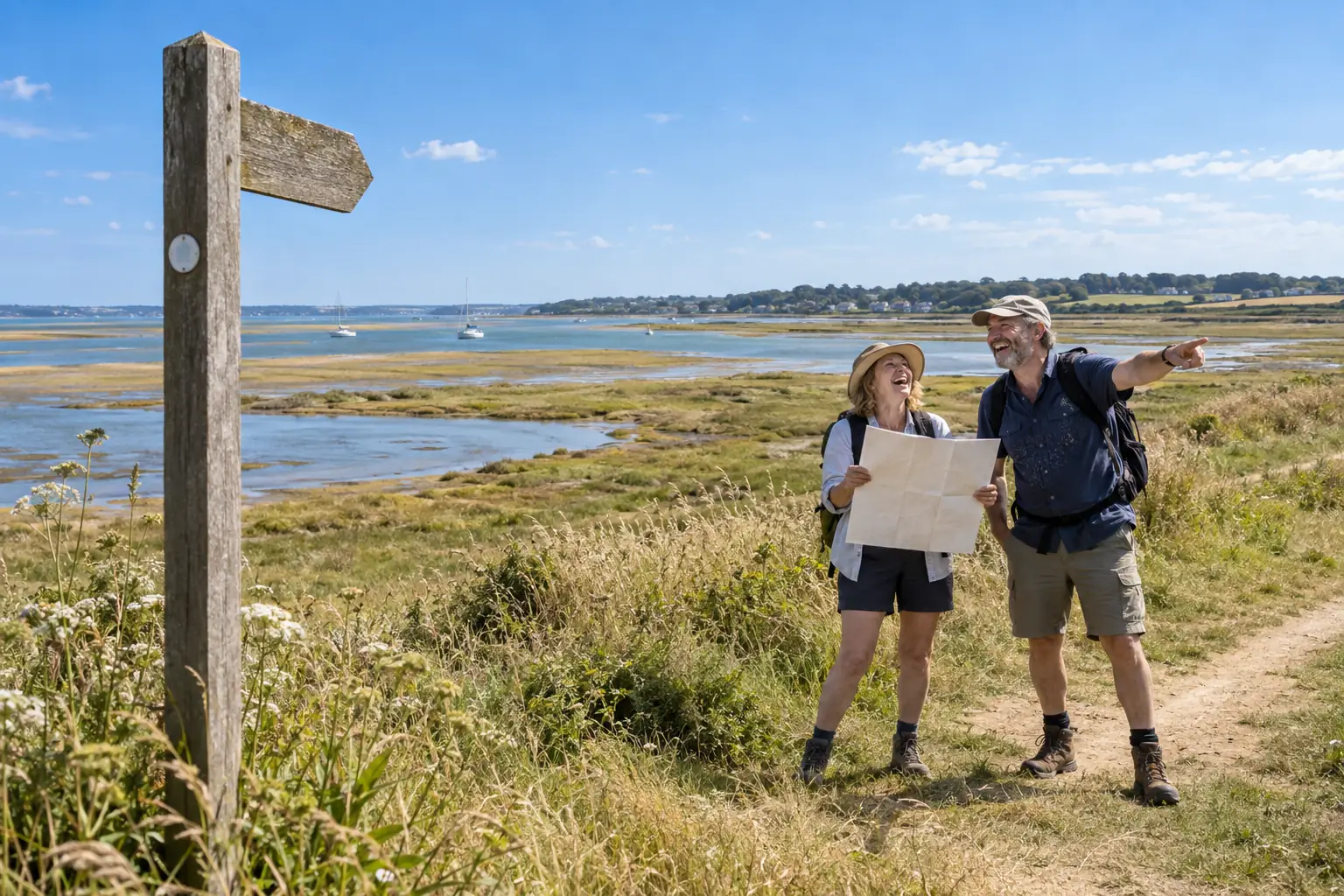
The Stour estuary coast path has opened with more than 13 miles of Suffolk shoreline, centuries of history and the sort of official title that makes a pleasant walk sound as if it needs palace clearance.
The new section of the King Charles III England Coast Path runs from Cattawade to Shotley Gate. It passes villages, wildlife and coastal erosion. It also carries enough history to make a picnic feel academically underprepared. Natural England says the route includes 4.5 miles of new access. It brings walkers closer to England’s planned continuous 2,700 mile coastal trail.
The blank map was delighted. It had always suspected that a walk became more important when given a royal name. It was less certain whether the King would join it for the stretch past the birdwatchers.
Stour estuary coast path with royal paperwork
The Stour estuary coast path is not merely a line between two places. It has rollback provision. This lets the route adapt as the coastline changes. Sensible planning, then. It also means the map must accept that the ground beneath it now has a long term strategy.
At Stutton Ness, the route has moved away from the cliff edge. The cliff was becoming too involved in route planning. Walkers can look towards the Royal Hospital School. They can pass near a church associated with Anne Boleyn. They finish at Shotley Gate, where the former HMS Ganges site adds naval history to the day out.
The blank map classified these features as optional context. It did the same with wintering birds and the awkward fact that interesting walks keep refusing to end beside a railway station.
A Stour estuary coast path for the future
The announcement shows how grand infrastructure is assembled. A few new stretches of access, careful engineering and a large national ambition arrive together under one magnificent name. The result is a useful route wearing ceremonial trousers.
Natural England says the path is designed to support access for future generations. The blank map supports this. It only asks that future generations understand rollback means moving the path, not reversing time and making the cliff apologise.
For now, the route offers a clear public benefit. People can walk further along a remarkable estuary. The coastline has kept its right to move. The map has lost the argument. The royal title is waiting to knight whoever remembers the bus timetable. Even the cliff has received its paperwork, and is still refusing to sign.
Source: GOV.UK.